
Terrestrial Laser Scanning Projects Presented with NUBIGON
Terrestrial Laser Scanning (TLS) is essential for accurately capturing detailed 3D data of complex environments, making it invaluable for architecture, engineering, and heritage preservation. NUBIGON elevates TLS point clouds of any size with signature visualization and high-performance rendering solutions.
Laser Scanning Landmarks
WinWin Audiovisual captured the Spanish Parliament with terrestrial laser scanners, comprehensively documenting its intricate architecture. Subsequently, they rendered the captured point clouds in NUBIGON, delivering unique visuals for a documentary that aired on Spanish TV. Enjoy this short but impressive segment!
Spanish Parliament - WinWin Audiovisual
Terrestrial Laser Scanning & Photogrammetry
When tasked with capturing a site with historic underground tunnels, Bitraze used photogrammetry for the exterior and terrestrial laser scanning for the interior. By rendering both data sets in NUBIGON, they created a unified 3D scene. NUBIGON's diverse visual configurations help highlight different site components, making complex environments easier to analyze and present.
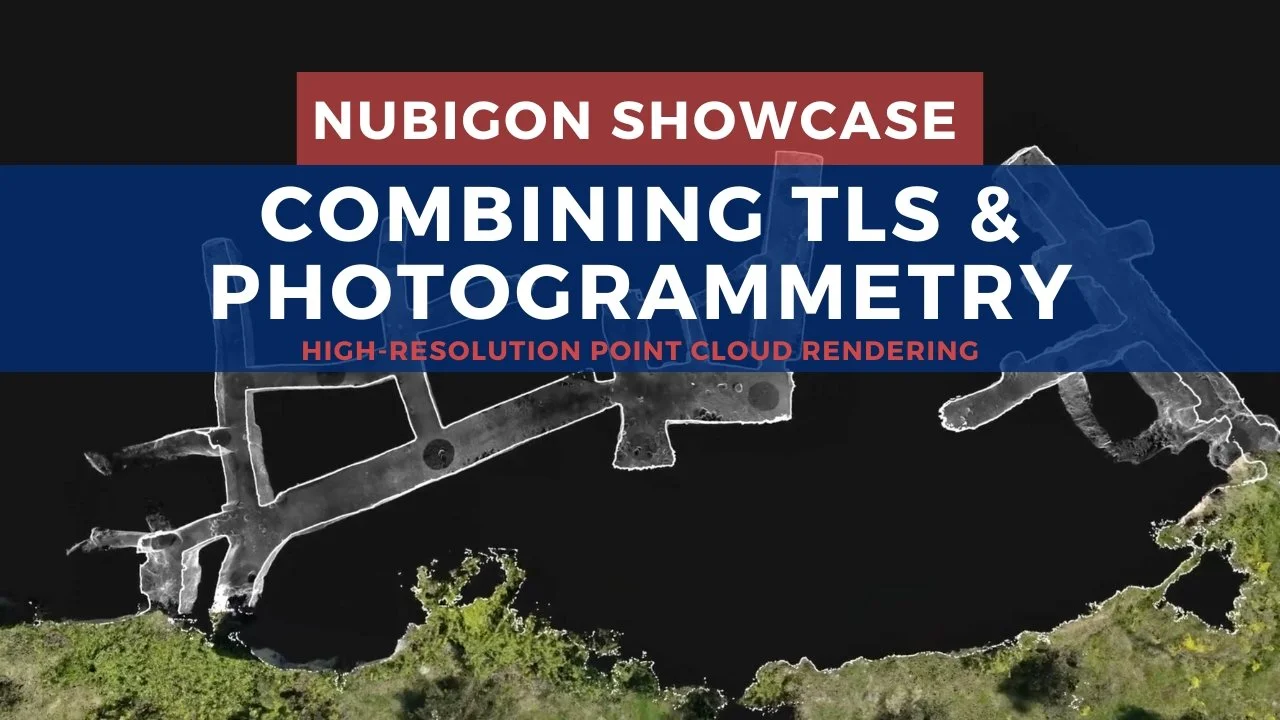
Hermitages of the Convent of Carmen in Pastrana, Spain - bitraze
Terrestrial Laser Scanning & Scan-to-BIM
DCMS utilized terrestrial laser scanning to capture precise as-built conditions and develop an accurate BIM model of an ice rink. Rendering the point clouds and the BIM in NUBIGON helped illustrate that the model properly reflects real-world conditions. Ultimately, DCMS leveraged NUBIGON to showcase scan-to-BIM deliverables effectively.
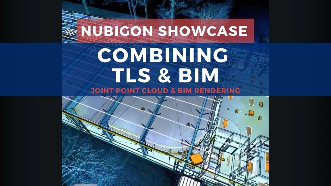
Ice Rink, Canada - DCMS Network
Merging Multiple Scanning Methods
Leap3d captured a canal, bridge, and surrounding streets using terrestrial laser scanning and multibeam bathymetric scanners. This multisensor approach provided a comprehensive, accurate dataset of above- and below-water features. Subsequently, Leap3d integrated these datasets in NUBIGON, creating a detailed 3D scene essential for visualizing, analyzing, and presenting the project outcomes.
Red Bridge of Utrecht, Netherlands - leap3d
Classified TLS Point Clouds
Classifying building assets holds great potential for the future of urban and structural analysis. NUBIGON provides the tools to render and present these classified point clouds effectively, helping users distinguish key structural elements and paving the way for more refined classification in the built environment.
